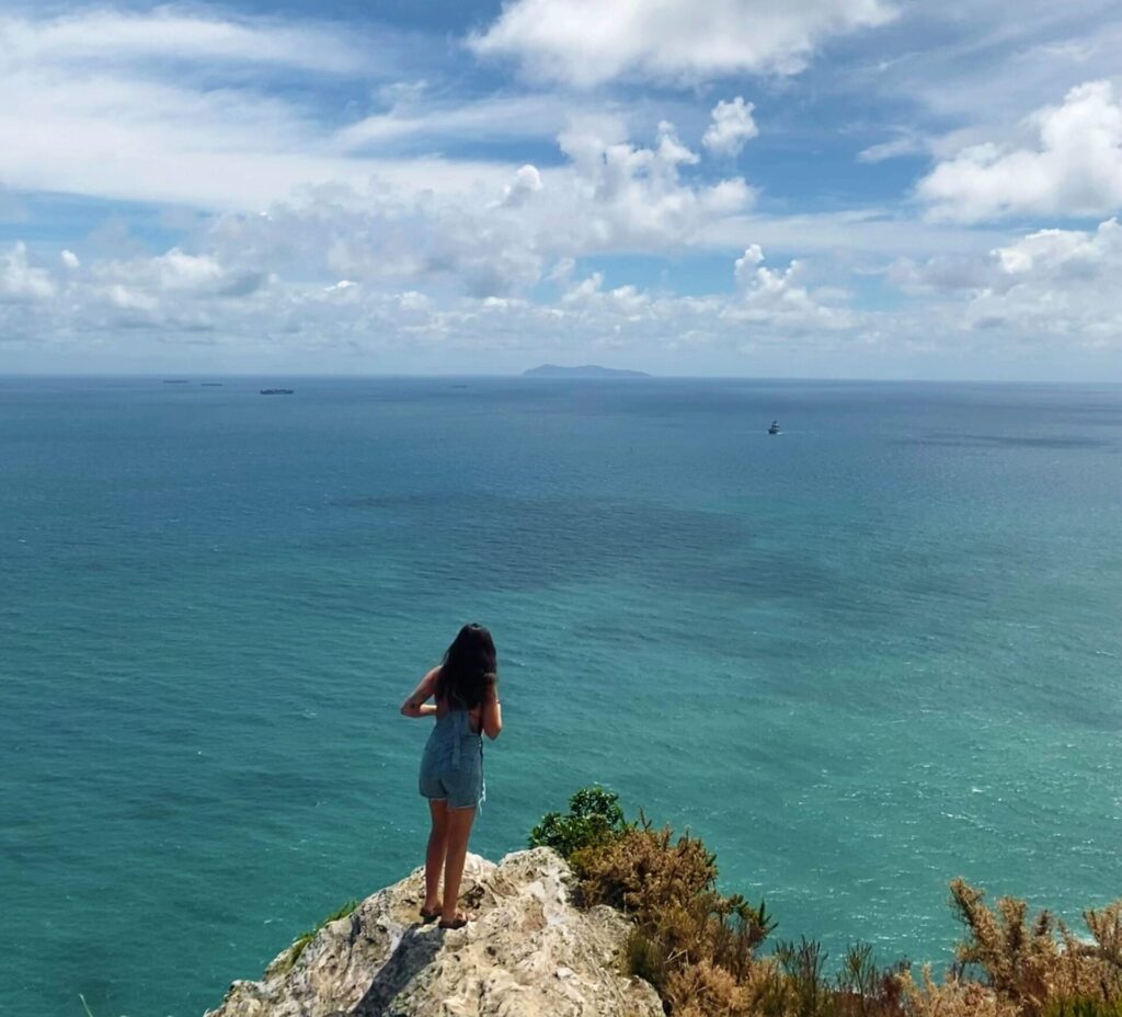
I had a taste of a January summer earlier this year when I packed my bags and spent a month in New Zealand. [From now on, I will refer to NZ by its Māori name, Aotearoa (au-tee-uh-row-uh). For the reasons why, read here.] I’d planned this trip to participate in mangrove research, something I had done previously, in 2020 in the Trang province of Thailand, and now had the opportunity to do again.
The mangrove distribution is very unique in Aotearoa. Mangrove forests that usually grow only in tropical marine environments have begun sprouting up more and more in the northernmost subtropical parts of the country. Mangroves are an incredibly important coastal ecosystem that support biodiversity, carbon sequestration, and protecting coastlines from the effects of climate change. In Aotearoa, however, their spread is uniquely controversial.
Mangroves are beginning to increasingly take root along beaches in Aotearoa due to rising amounts of sedimentation and eutrophication in the water — in addition to climate change more broadly. Controversy has brewed in North Island communities, who take issue with several aspects of mangrove encroachment, including loss of amenities and recreation. Hoping to return the ecosystem to unvegetated intertidal sand flats, people have been actively removing mangroves by their own volition, an action which is only legal in certain parts of the country.
My task was two-fold: One, I’d sample seawater in mangrove-populated areas to be tested for sediment and nutrient concentration; and two, I’d assess whether unauthorized mangrove removal had been occurring. The full extent of mangrove removal in Aotearoa is unknown due to the widespread practice of illegal removal. I also had some opportunities to educate the local community about the mangroves they’re seeing, why these changes to their landscape are occurring, and listen to their distinct perspectives on mangrove encroachment.
I arrived in Auckland in early January ready to sink my feet into the mud and dive right in. My research background is in marine ecology and tropical geographies, so this research was something a bit outside of my usual wheelhouse, but I was excited to learn and apply my skills in other geographies with a unique set of issues. Work was going smoothly for the first week, with most of my time spent in the beautiful Coromandel Peninsula.
The worksite was just minutes away from where I was staying, the weather was gorgeous, and the water was a beautiful bright blue. I had several moments of the most visceral gratitude, a feeling that I often have when seeing these breathtaking scenes — I remember thinking, “I can’t believe this is my life”. Days were spent exploring the mangroves and surrounding beaches, speaking with locals, taking in the scenery, and keeping up with my work here at SpaceshipOne. It felt like an absolute dream.
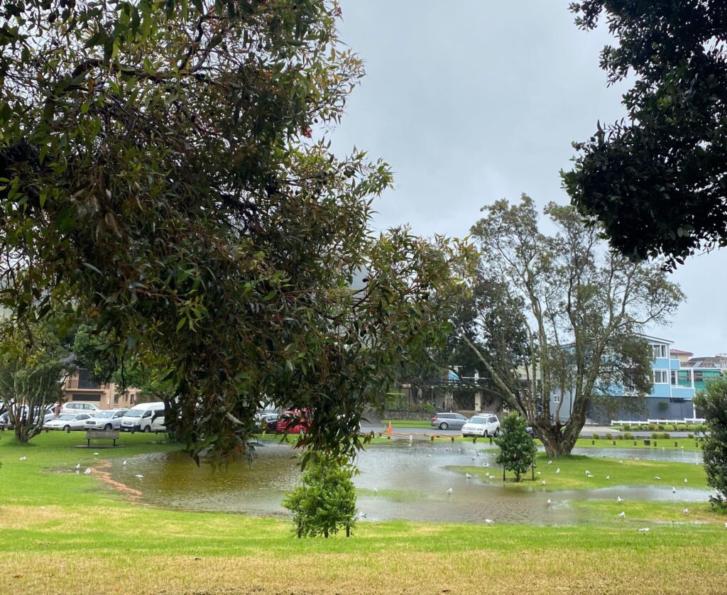
Then, the cyclone hit. The biggest tropical cyclone Aotearoa has ever seen in recorded history hit the North Island. At the time it made landfall, I had fortunately left Coromandel the day prior and was in the town of Tauranga, a more populated area south of the Coromandel. When we saw the weather reports with more storms headed our way, we quickly made our way out of this more remote part of the country. This decision proved wise; just days later, the Coromandel Peninsula was completely isolated from the rest of the country, due to widespread flooding, landslides, and road closures.
Cyclone Gabrielle became the costliest cyclone on record in the Southern Hemisphere, and the country’s deadliest weather event since 1968. A few days before this cyclone hit, there had been another major storm that caused widespread flooding and landslides in the Northland. At one point, Auckland received a record-breaking 10 inches of rain just within a few hours. Cyclone Gabrielle would drop more than eight inches of rain just days later.
My group and I decided to drive to Wellington, Aotearoa’s capital, at the southern tip of the North Island, to escape the worst parts of the storm. We drove four hours through heavy rain and wind, and met road closure after road closure due to landslides. At one point we drove through a flooded road with the water level up to about two feet high – it was the only road south and had not yet been closed down. Many people across the country lost electricity, phone service, and internet, with mandatory evacuations issued across the North Island. Nearly a quarter of a million people were left without power.

At this point, all hopes of finishing my mangrove research were rightfully put on hold. I had been able to get several water samples and send them to the lab in Auckland, as well as mark any unauthorized mangrove removal on a GIS (geographic information system). I am lucky to have a friend in Wellington who was willing to host me for the rest of my time in Aotearoa. From my conversations there with native Kiwis, I came to understand that this was the worst storm they had ever seen in their lifetime, and was certainly out of the ordinary for the summertime. As a native Southern Californian, I had never seen rain like this before in my life. And certainly never had to drive through it.
Aotearoa as a whole is fairly susceptible to weather impacts, with there being just one main highway to get from the north part of the island down south. Other main roads are completely dirt or gravel, often very narrow and usually right along a cliff, making them extremely susceptible to landslides in harsh weather conditions (and also extremely nerve-wracking to navigate). Additionally, many of Aotearoa’s towns and cities were built around flood plains, making flooding a huge problem.
These infrastructure challenges will only become more glaring with climate change, as the severity and frequency of storms continues to increase as a result. Preparedness is key to improving resilience as this becomes more common. The Prime Minister acknowledged this immediately following the storms, citing climate change as an issue that needs to be reckoned with in the country’s policymaking and projects moving forward.
The challenges that came my way on this trip became more of a personal learning experience for me, rather than a work trip on mangrove biopolitics and seawater nutrient concentrations. Experiencing this event myself, especially with people from Aotearoa who grew up there, was eye-opening. I feel like when you go through experiences like these you learn a lot about yourself and about the communities around you. In this case, I learned a lot about Aotearoa politics, their history, and their geography.
I learned about the resilience of the communities where the floods were most impacted, listened to my friend’s worries about the state of their agriculture and food system, and just how completely these climate events affect every facet of life. The workforce grinds to a halt, people are displaced from their homes, the food system becomes precarious, the transportation system must be rebuilt. Māori communities were hit especially hard, but their strength was incredibly moving. From three Māori boys single handedly saving a family stranded on their roof to entire communities mobilizing in well-being support, the knowledge and selflessness on display in how to respond to these climate events was truly inspiring.
This experience reiterated for me why I am involved in this kind of work – why I am passionate about climate change, about education, about geography. While I was able to do some of the mangrove work, which is important in its own right, I think the true takeaways were the feelings, emotions, and learning I did just being a person in Aotearoa at this time. The intangible ways that we feel the climate, in all its power, precarity, and prevalence is understood through experience.
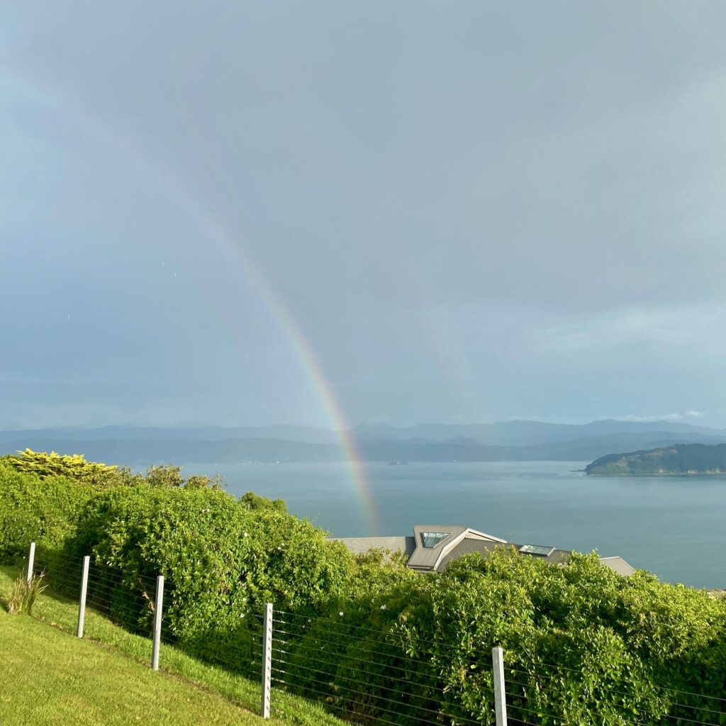
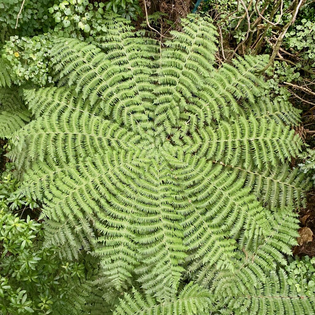
During my unplanned time in Wellington, I was able to go on lots of nature walks to immerse myself in the country’s beautiful foliage, making kin with their famous silver ferns, and just focused on being present with myself and with the world. I even got to do a quick weekend trip to the South Island, visiting Abel Tasman National Park, where we saw manta rays in the sea and hiked to natural freshwater pools. It was the reset that we all needed, finding the sunshine after the storm.

These are the moments we need to look for when experiencing these types of traumatic events. Moments that bring us back to ourselves after a period of heightened stress, after being deeply and fearfully concerned for the future, after constant reading about devastation and loss happening in real time. There is a balance that needs to be struck between understanding the on-the-ground reality and also seeking out moments that ground you, give you hope, and motivate you to keep moving forward in this work.
The Earth contains immeasurable beauty and resilience and an incredible capacity for regeneration and creation. And so do we. When we talk about mitigating the effects of climate change, moving towards a clean energy future, building or rebuilding infrastructure that will support us having a healthy and abundant life, we are talking about how an event like Cyclone Gabrielle does not have to become a costly disaster, but can be avoided altogether. We are talking about climate resilience in the face of ongoing climate events, a resilience found in the support, hope, and advocacy of communities. We are talking about hope for a future without fear – with abundance, good health, and beauty to look forward to and enjoy for generations to come.
